Connecting Space to Village: EO and Geospatial Training Supports Local Curriculum Development in Nepal
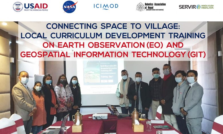
A week-long capacity-building programme on Earth Observation (EO) and Geospatial Information Technology (GIT) was organized for schoolteachers from selected schools in the Kathmandu Valley, with the aim of strengthening local curriculum development and classroom-level use of geospatial technologies. The programme was conducted under the “Connecting Space to Village” initiative of SERVIR, in collaboration with the Robotics Association of Nepal (RAN) and with technical support from ICIMOD.
SERVIR is a joint initiative supported by NASA and USAID, integrating satellite imagery and geospatial technologies to provide critical information on climate-sensitive issues such as natural disasters, agriculture, water resources, ecosystems, and land use. While the space-based technologies behind SERVIR are advanced, the programme places strong emphasis on translating these tools into practical benefits for communities on the ground.
Although EO and GIT are increasingly used in planning, environmental management, and sustainable development, their inclusion in school-level curricula across Nepal and the wider Hindu Kush Himalaya (HKH) region remains limited. Gaps in skilled human resources, institutional capacity, and access to applied learning materials have made it challenging for teachers to introduce these concepts to students. The training sought to address these challenges by equipping teachers with foundational knowledge and practical examples that can be adapted for classroom teaching.
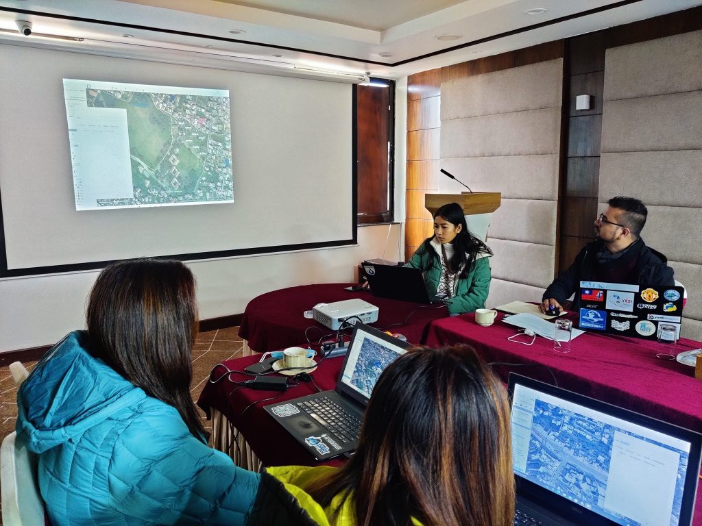
The programme combined short theoretical sessions with hands-on demonstrations of EO and GIT applications relevant to Nepal. Teachers were introduced to SERVIR-HKH tools and services, including land-cover monitoring systems, forest fire detection and alert platforms, drought and streamflow monitoring tools, and high-impact weather assessment applications. These examples were presented with a focus on how they could be simplified and contextualized for use in science, geography, computer science, and social studies classes.
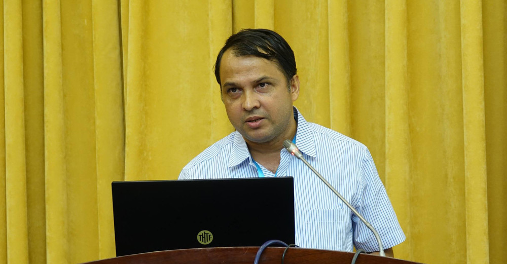
“Introducing Earth observation and geospatial concepts at the school level is essential for building long-term capacity,” said Er. Abinash Silwal, who served as a lead resource person for the training, providing technical instruction as well as guidance on the tools and resources required to integrate EO and GIT into local curricula.
In addition to the teacher-focused training, related capacity-building activities under the same initiative included technical mentoring and supervision of small applied projects, helping participants and partner institutions translate EO and GIT concepts into practical use.
Approximately 40 schoolteachers teaching science, geography, computer science, and social studies were expected to benefit from the programme. By focusing on teacher capacity and curriculum integration, the initiative aims to ensure that EO and geospatial knowledge reaches students and communities, contributing to stronger institutional capacity and improved access to data at the local level.
The training reflects SERVIR-HKH’s broader objective of connecting space-based technologies with local needs—ensuring that the value of satellite data extends beyond technical users to classrooms, communities, and decision-makers across Nepal.